
Arctic Sea Ice
About
What is Arctic Sea Ice?
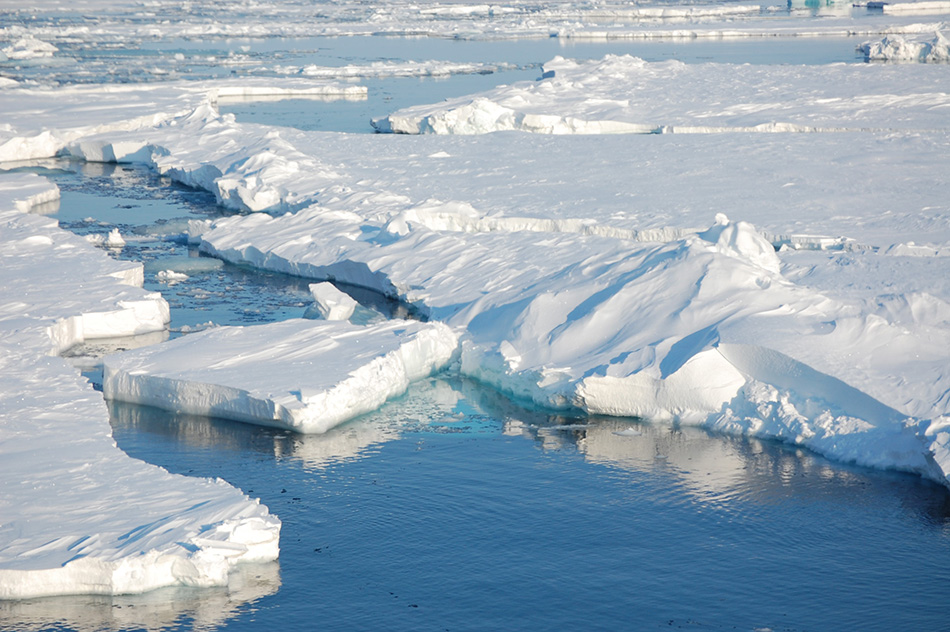
Sea ice is frozen ocean water that is most commonly found near the poles in the Arctic Ocean and Southern ocean around Antarctica. Sea ice plays a crititcal role in regulating the ocean circulation, thereby influencing the global climate. Abnormal melting of sea ice brought forth by warming temperatures leads to changes in global climate making it important to study the fluctuations in the sea ice extant. Scientists use different methods to study sea ice which include observations and climate models.
What is this data?
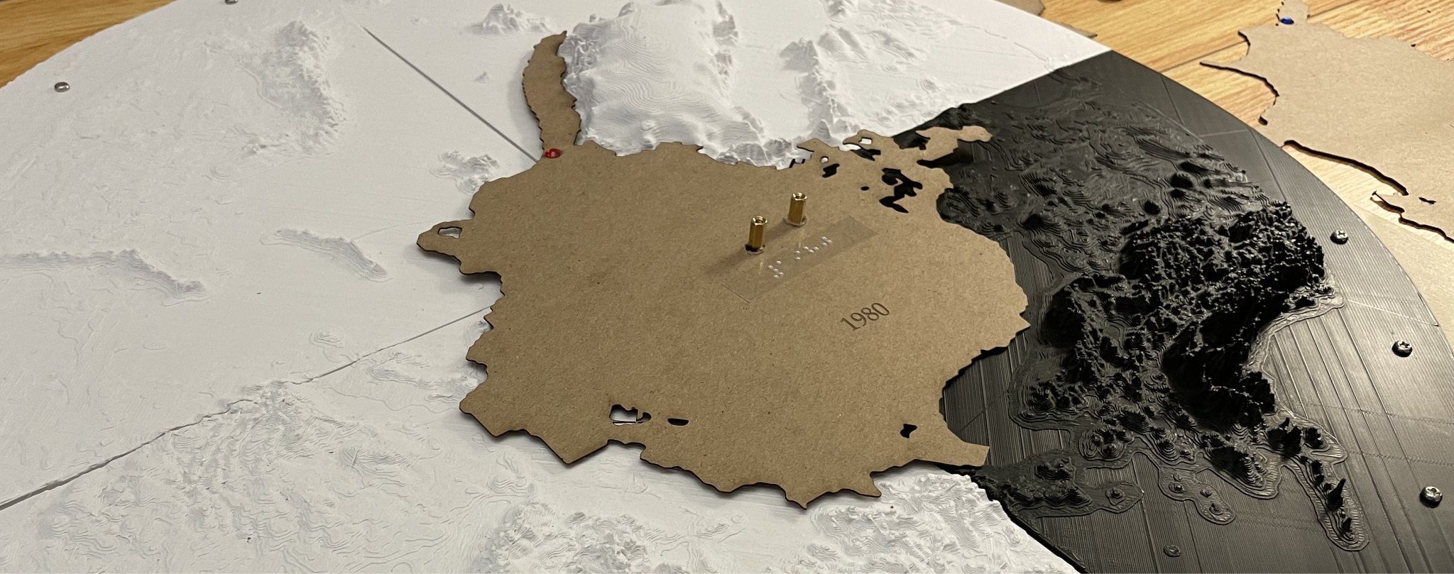
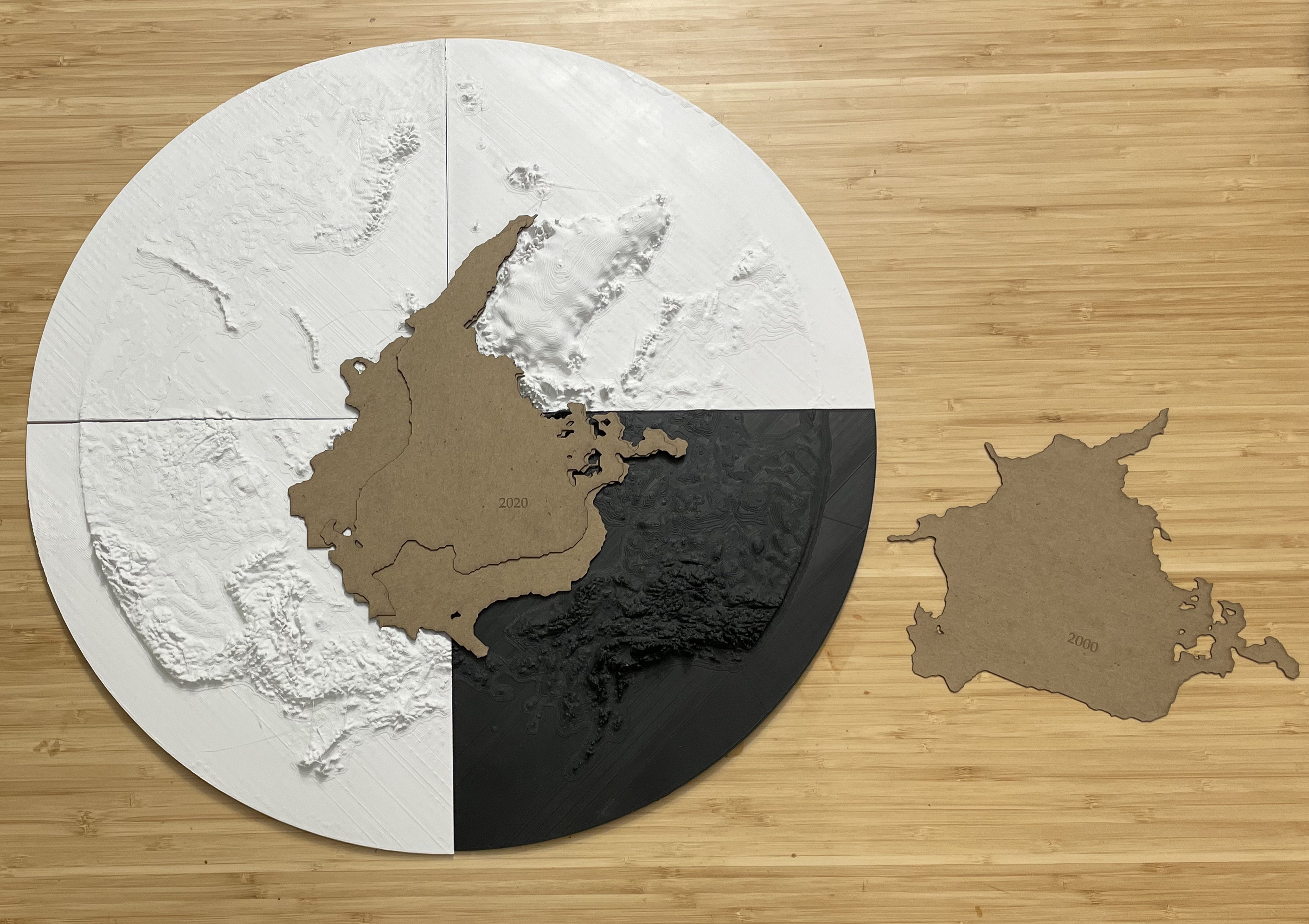
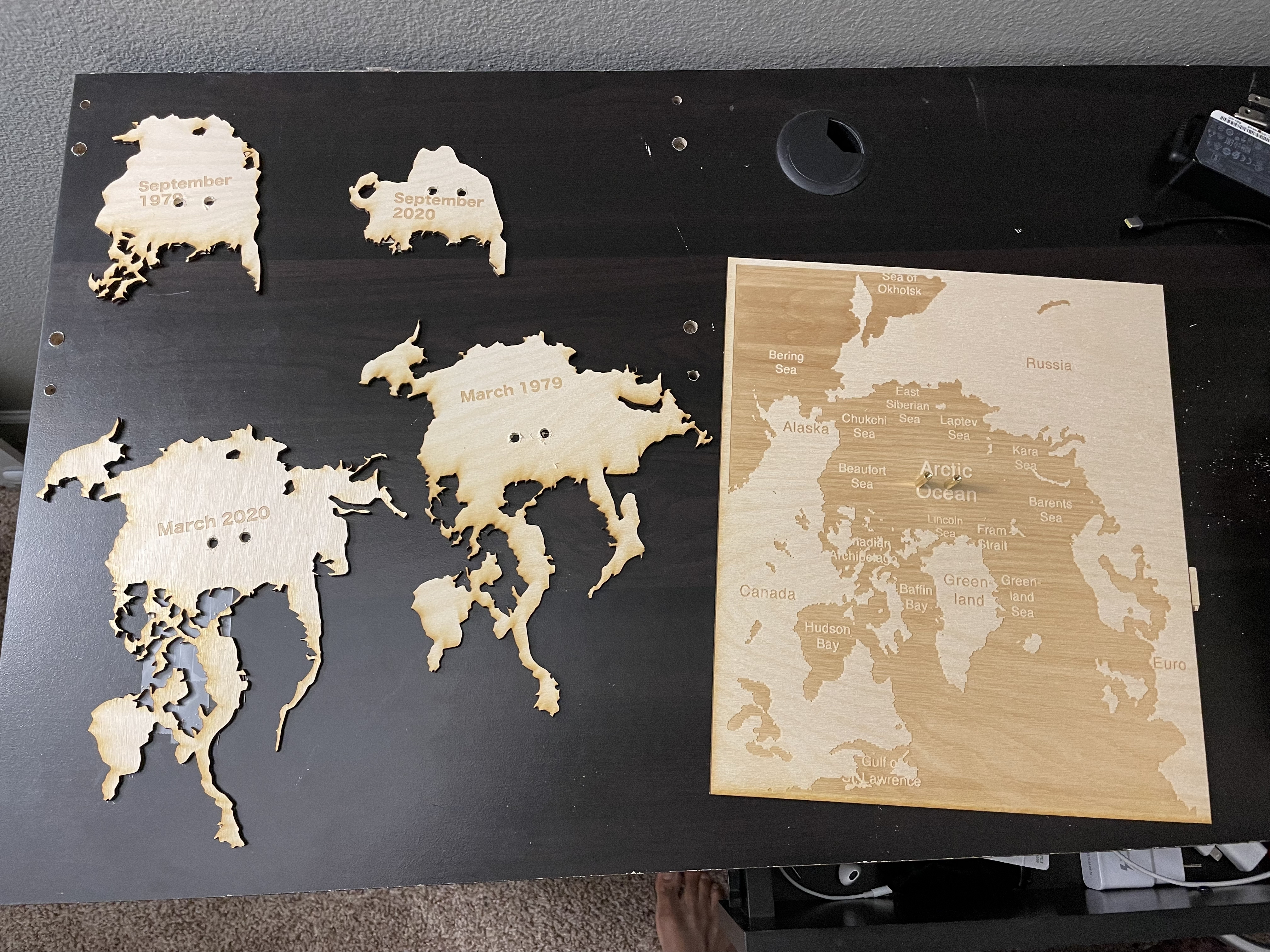
The data used for the model came from simulations of the Community Earth System Model (CESM2; Danabasoglu et al. 2020; DuVivier et al. 2020). The simulations use a combination of historical information from 1850 to 2015 to force the model and then a future scenario from 2016 to 2100. Here we show the September mean sea ice extent (area where the sea ice fraction is above 15%) from the years 1950 to 2050. Each slice represents the September mean for a particular year. There are significant year to year changes in sea ice extent, but from 1980 onward there is a substantial decline in the area covered by sea ice in the Arctic. This agrees with the assessments made from satellite observations available from 1980 to the present.
How to use this physicalization?
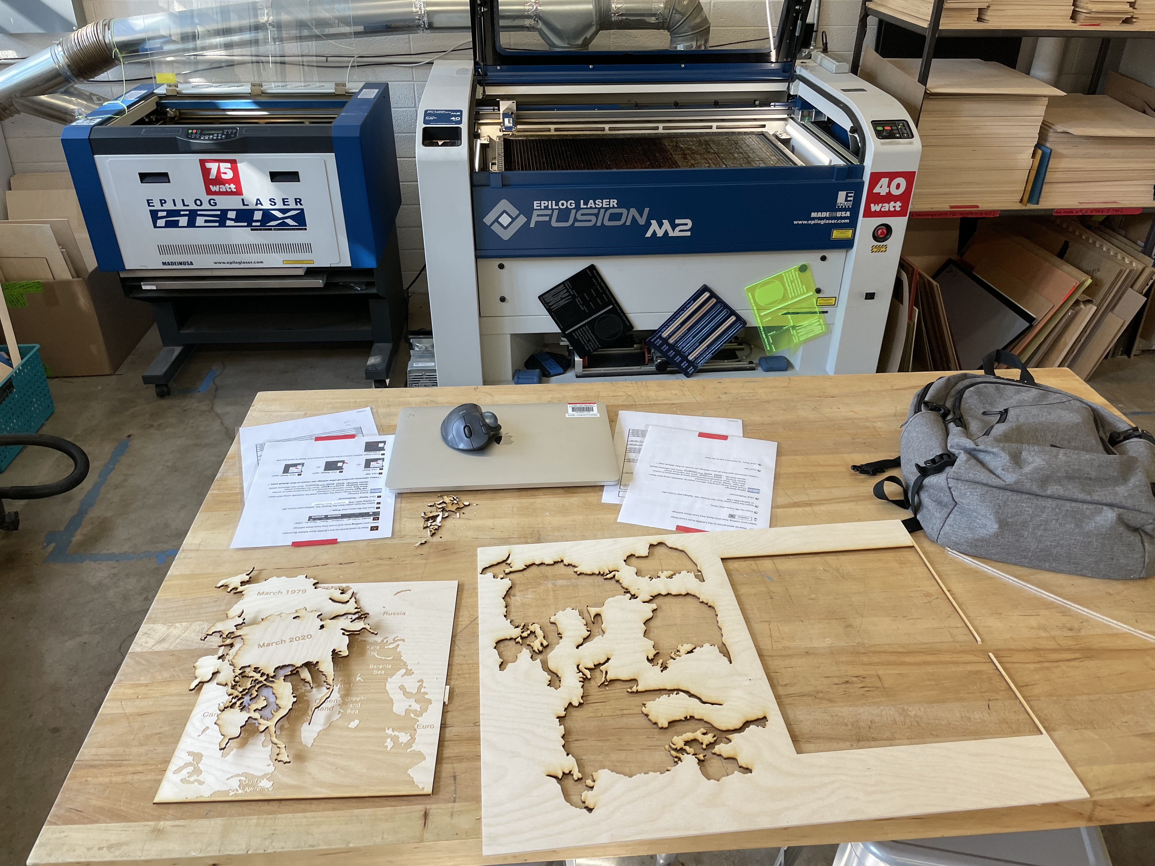
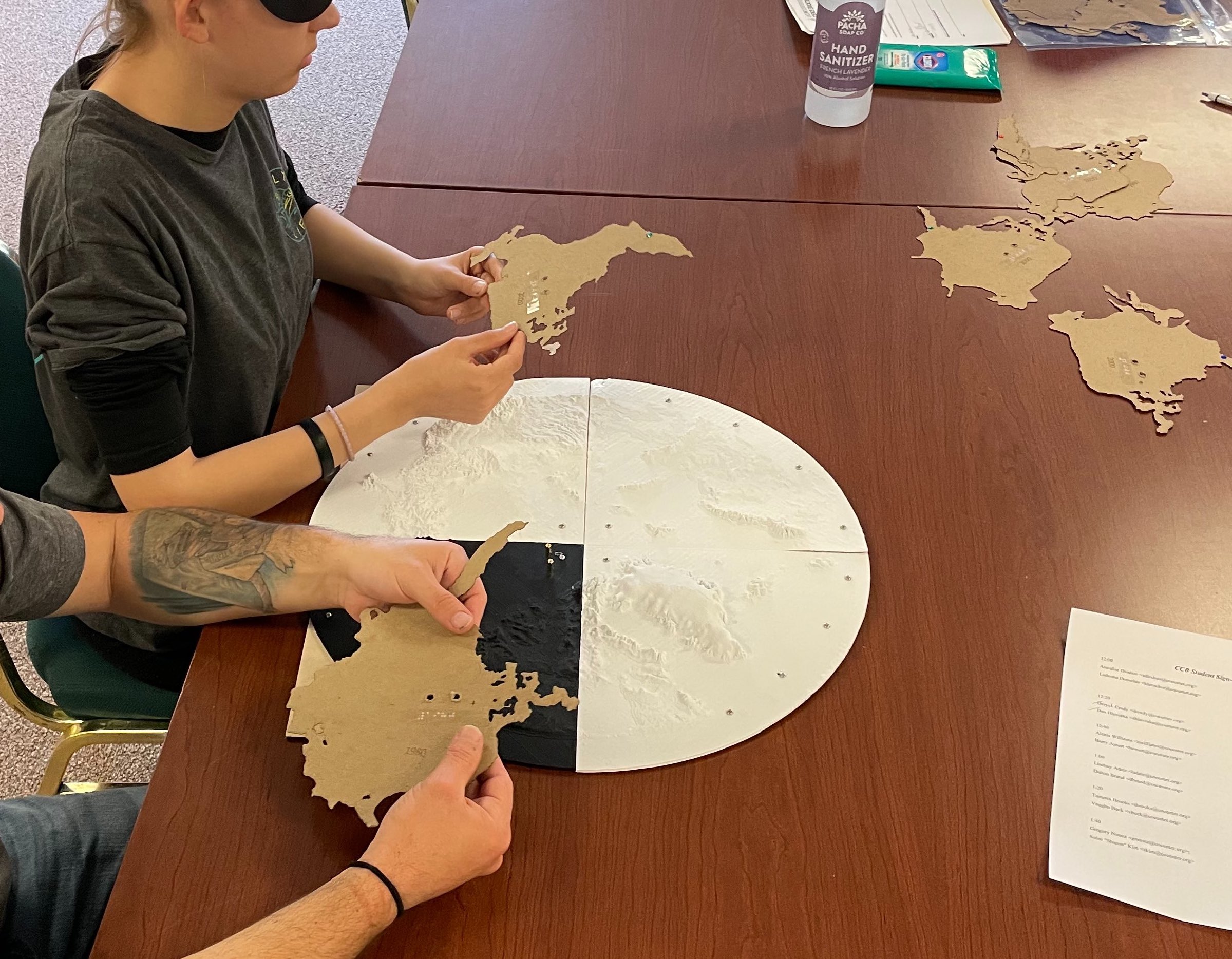
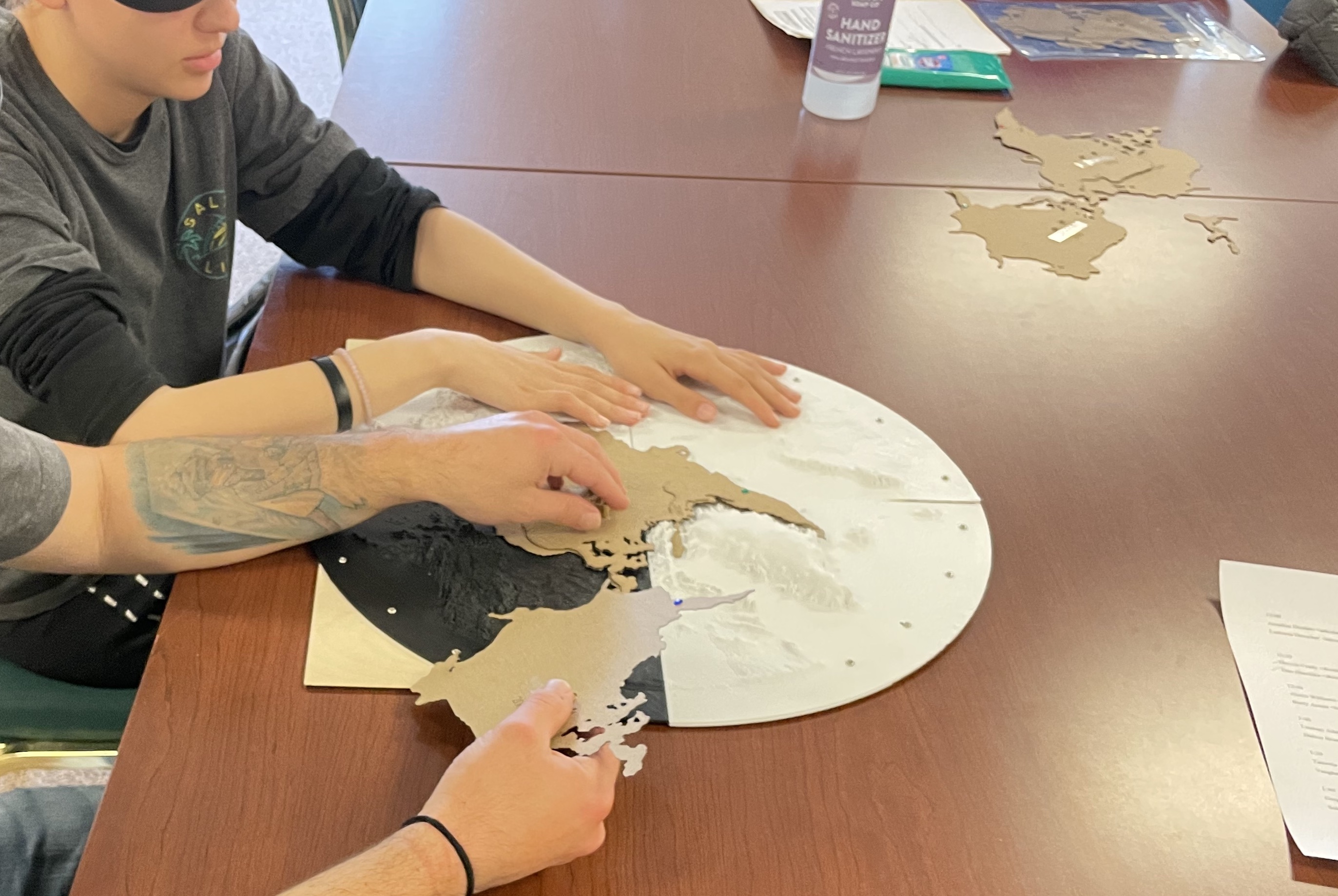
The physicalization consists of two components. The 3D printed map and the laser cut sea ice data. The base map shows the Northern hemisphere in a Lambert equal-area projection (Which is a flattened representation of the globe). The map is split in four quadrants with the north pole at the center. The texture on the map represents mountains and other geographic features. The laser cut datasets represent September sea-ice extant from 1980, 2000, 2020 and 2040. You can download the files required for laser cutting and 3D printing in the downloads section below.
Downloads
3D printed Base Arctic Map link
Photographs
Proof of Concept
Initial Prototype
Testing
Additional information
Credits
- Nihanth Cherukuru, NCAR/CISL
- Matt Rehme, NCAR/CISL
- David Bailey, NCAR/CGD
- Marika Holland, NCAR/CGD
- Becca Hathaway, UCAR/SciEd
- Tiffany Fourment, UCAR/SciEd
- Jacobson-Weaver “Zach”, Boulder Public Library/ BLDG61
References
-
Danabasoglu, G., Lamarque, J. -F., Bachmeister, J., Bailey, D. A., DuVivier, A. K., Edwards, J., Emmons, L. K., Fasullo, J., Garcia, R., Gettelman, A., Hannay, C., Holland, M. M., Large, W. G., Lawrence, D. M., Lenaerts, J. T. M., Lindsay, K., Lipscomb, W. H., Mills, M. J., Neale, R., Oleson, K. W., Otto-Bliesner, B., Phillips, A. S., Sacks, W., Tilmes, S., van Kampenhout, L., Vertenstein, M., Bertini, A., Dennis, J., Deser, C., Fischer, C., Fox-Kember, B., Kay, J. E., Kinnison, D., Kushner, P. J., Long, M. C., Mickelson, S., Moore, J. K., Nienhouse, E., Polvani, L., Rasch, P. J., Strand, W. G., 2020, The Community Earth System Model version 2 (CESM2). Journal of Advances in Modeling Earth Systems, doi:/10.1029/2019MS001916
-
[2] DuVivier, A. K., Holland, M. M., Kay, J. E., Tilmes, S., Gettelman, A., Bailey, D. A., 2020, Arctic and Antarctic sea ice state in the Community Earth System Model Version 2. JGR: Oceans, https://doi.org/10.1029/2019JC015934.