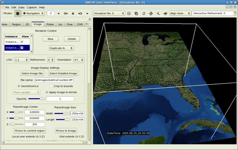
You may note that the rectangular box in the VAPOR scene is quite flat in the Z dimension. The horizontal length and width of the box are about 1200 km, however the box is only about 20 km high. To better visualize the data in the box, we shall stretch the scene by a factor of 50 in the Z dimension. From the Edit menu, click "Edit Visualizer Features". This will launch the following panel:
Near the top of the panel, specify the Z component of the Scene Stretch Factor to be 50. Lower down, next to "Time Annotation" select "Date/time stamp" so that we will be able to view the date and time for each image. Click the "OK" button to dismiss the Visualizer Features panel.
You will note that the box in the scene is now much taller, as shown below. The portion of the terrain in the scene box is also stretched vertically.

You can navigate through this scene, both temporally and spatially. For temporal navigation, locate the animation toolbar, which appears at the top of the window as follows:
Click on the various icons on this toolbar to play forwards or backwards in time, pause, or single-step. Type a value in the space at left to jump to a particular time step.
For spatial navigation, you can click-drag with the mouse buttons in the scene:
If you release the left mouse button while you are rotating, the scene will continue to spin. Stop the spin by clicking in the scene while the mouse is stationary.
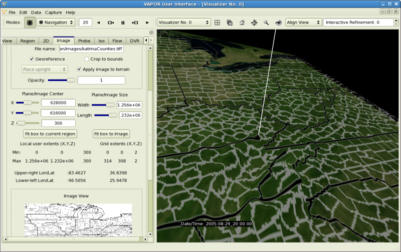
By zooming and rotating with the mouse, you can get a close look at the terrain images at any place of interest. For example you should be able to navigate to a view of the terrain north of Georgia at time step 20, like the following:
